

Folded Map: Western United States
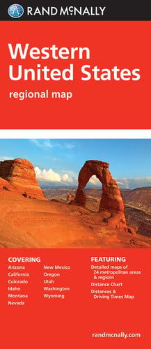
- Map
- Publisher:
- RAND MCNALLY & Company
- Release Date:
- 2010
- ISBN-10:
- 0528882112
- ISBN-13:
- 9780528882111
- List Price:
- $5.99
-
Store Condition Coupons & Deals Price Shipping Total eCampus
(Marketplace)Used
(Marketplace)Used
(Marketplace)$6.82
as of Oct 19, 2026, 8:13 PM ET$3.97 -
Store Condition Coupons & Deals Price Shipping Total eCampus
(Marketplace)Used
(Marketplace)Used
(Marketplace)$6.82
as of Oct 19, 2026, 8:13 PM ET$3.97
Prices checked Oct 19, 2026, 8:13 PM ET. Totals include shipping where the store lists it.
Also check: Knetbooks (rentals) · BiggerBooks · VitalSource (eBooks) · AbeBooks (marketplace) · SellBackBooks (sell back)
About Folded Map: Western United States
Rand McNally\x27s folded map featuring the Western United States is a must\-have for anyone traveling in and around this part of the country, offering unbeatable accuracy and reliability at a great price. Our trusted cartography shows all Interstate, state, and county highways, along with clearly indicated points of interest, airports, county boundaries, and more. You\x27ll see why Rand McNally folded maps have been the trusted standard for years. Regularly updated, full\-color maps Clearly labeled Interstate, U.S., state, and county highways Detail maps of major cities, a mileage chart, and a Mileages \x26 Driving Times Map Indications of parks, points of interest, airports, county…
How CheapestTextbooks.com compares prices
When you open this page we ask eCampus, Knetbooks, BiggerBooks and VitalSource for their current prices on ISBN 9780528882111 and sort every offer by its total with shipping. Rental rows show the term (semester, quarter or short term) and that term goes with you to the store's cart, and eBook rows link straight to the 180-day or no-expiry option you picked. Prices are rechecked at least every 30 minutes, so confirm the total at checkout.
More United States textbooks
-
United States History

- Hardcover
- Edition:
- 9
- Publisher:
- AGS
- Release Date:
- 1998
- ISBN-10:
- 0785414185
- ISBN-13:
- 9780785414186
-
United States History

- Hardcover
- Publisher:
- Savvas Learning Company
- Release Date:
- 2011
- ISBN-10:
- 0133189597
- ISBN-13:
- 9780133189599
-
United States Protocol

- Hardcover
- Publisher:
- Rowman & Littlefield Publishers, Inc
- Release Date:
- 2010
- ISBN-10:
- 1442203196
- ISBN-13:
- 9781442203198
-
United States of Poetry

- Publisher:
- H.N. Abrams
- Release Date:
- 1996
- ISBN-10:
- 0810939274
- ISBN-13:
- 9780810939271
-
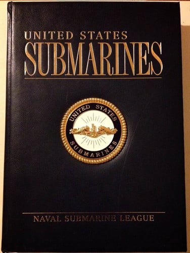
United States Submarines
- Publisher:
- Naval Submarine League
- Release Date:
- 2002
- ISBN-10:
- 0883631032
- ISBN-13:
- 9780883631034
-
United States History and Geography, Student Edition (UNITED STATES HISTORY (HS))

- Hardcover
- Publisher:
- McGraw-Hill Education
- Release Date:
- 2014
- ISBN-10:
- 0076608654
- ISBN-13:
- 9780076608652
Browse: United States textbooks · United States textbooks · United States textbooks · All textbook subjects
© CheapestTextbooks.com 2001-2026. All rights reserved.